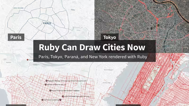
Ruby Can Draw Cities Now – Now open for 2026 sponsorships
16-Jan-2026 456
How I built a pure-Ruby GIS engine that renders Paris, Tokyo, New York, and more
Most people don’t think of Ruby when they think about maps, GIS, or visual computing. If you want to draw a real city, the standard stack usually looks like:
QGIS
PostGIS
Mapnik
Mapbox
or a heavy JavaScript pipeline
But I wanted something different.
I wanted to know:
Can Ruby draw real cities — using real geospatial data — with no external GIS stack?
So I tried. And it worked.
Ruby Can Draw Cities Now – Now open for 2026 sponsorships #ruby #rubydeveloper #rubyonrails #Cities #sponsorships https://rubyonrails.ba/link/ruby-can-draw-cities-now-now-open-for-2026-sponsorships